Take a deep breath—you’re beginning this hike at nearly 10,000 feet, where the air is thin, but the wildflowers are divine. And you’re going higher—all the way to Sonora Peak’s 11,459-foot summit. You’ll find flowers along this challenging but oh-so-worth-it six-mile round-trip from early July to early August.
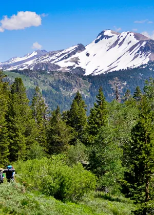
From the St. Mary’s Pass trailhead, the path skirts volcanic slopes splashed with color. “This exhilarating hike offers a variety of sub-alpine and alpine plants, including scarlet gilia, Indian paintbrush, blue flax, and Sierra lilies,” says local botanist Karen Wiese. The trail climbs steadily, with only short reprieve on a level plateau before the final summit ascent. When you finally top Sonora Peak’s summit, expect a knock-your-socks-off vista: You’re surrounded by a banquet of peaks in the Carson-Iceberg, Hoover, and Ansel Adams Wilderness areas.
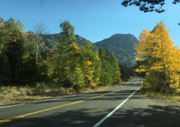
DIRECTIONS TO TRAILHEAD: From Pinecrest, take State Highway 108 east for 35 miles. The St. Mary’s Pass trailhead for the Pacific Crest Trail is on the north side of the road, 0.8 mile before the top of Sonora Pass. (If you are coming from the east, take Highway 108 west for 32 miles from Bridgeport. The trailhead is 0.8 mile west of Sonora Pass.)