Day hike: 8.8 miles round-trip to Round Top Lake and Round Top Peak
Backpack: 11 miles round-trip to Fourth of July Lake
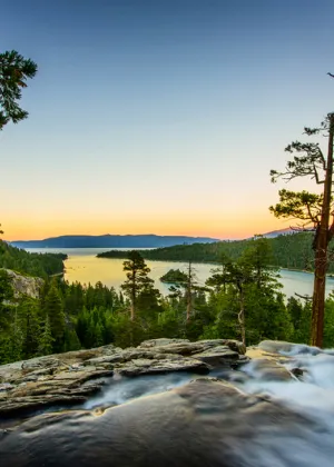
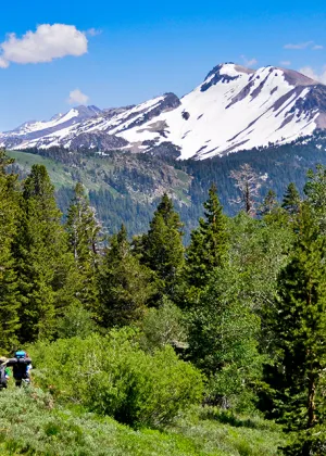
Just 30 miles south of Lake Tahoe, Highway 88’s Carson Pass region combines some of the Sierra’s loveliest scenery with some of its most flower-filled hiking trails. The PCT crosses the highway at 8,600-foot Carson Pass, heading north toward Tahoe and south toward Yosemite. Take the PCT south to explore the Mokelumne Wilderness—possible journeys include a day hike to Round Top Lake, a summit ascent of Round Top Peak, or a quickie overnight backpacking trip to Fourth of July Lake.
Start at the Carson Pass Information Station on Highway 88 (be sure to pay the $5 parking fee and pick up a wilderness permit). After an initial climb of about a half mile, you’ll see the trees thin out and alpine wildflowers start to appear. These volcanic soils nourish an incredible variety of flowers—visit in July and you’ll see fields of lupine, paintbrush, mule’s ears, and more. Pass Frog Lake on the left, then press onward to reach photogenic Winnemucca Lake, a blue-green gem whose shoreline is dotted with clusters of whitebark pines and hemlocks. Take a snack break, then continue steeply uphill for another mile to Round Top Lake, set directly below 10,381-foot Round Top Peak. The lake’s deeply carved glacial cirque is postcard-perfect, and a few stands of trees provide shade for picnickers.
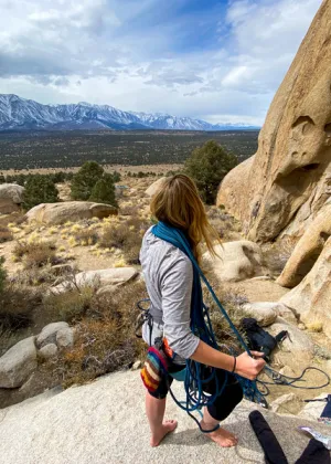
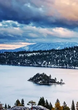
This is a fine place to call it a day, but ambitious, sure-footed hikers can opt for a summit ascent by following the footpath from the lake’s east end. The route struggles up, up, and up Mount Round Top’s volcanic slopes. The last 50 yards to the summit requires a third-class scramble, so go only as high as your comfort level allows. Whether you make it to the tippy-top or not, its knife-thin ridge offers dazzling vistas. Survey the view of Lake Tahoe, Caples Lake, Woods Lake, Round Top Lake, Winnemucca Lake, and Frog Lake—all to the north. Even more dramatic is the southward vista of deep and immense Summit City Canyon, 3,000 feet below. On the clearest days, Mount Diablo in the San Francisco Bay Area, 100 miles to the west, can be seen.
Backpackers continuing to Fourth of July Lake should take the left fork near Round Top Lake and head west, curving around the volcanic peaks known as The Sisters. Just over half a mile along the trail you’ll reach rocky Fourth of July Saddle, where you can look straight down 1,000 feet to the lake. Make your way down the switchbacks to the water’s edge, where there are several good campsites and decent fishing for brook and cutthroat trout. Late in summer, as the lake level drops, a sandy beach is exposed—a perfect spot for a well-earned swim.