For the latest on COVID-19 (Coronavirus) click here
Nashvilledino/Getty Images
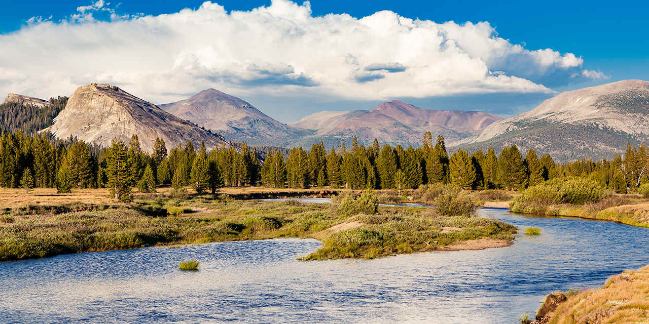
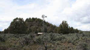
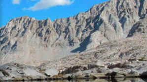
Pacific Crest Trail: Yosemite’s Tuolumne Meadows

Pacific Crest Trail: Yosemite’s Tuolumne Meadows
Follow these hiking options to explore some of Yosemite National Park’s gorgeous 77-mile section of the PCT
Day hike: 9 miles round-trip to Glen Aulin High Sierra Camp
Backpack: 27 miles round-trip to McCabe Lakes
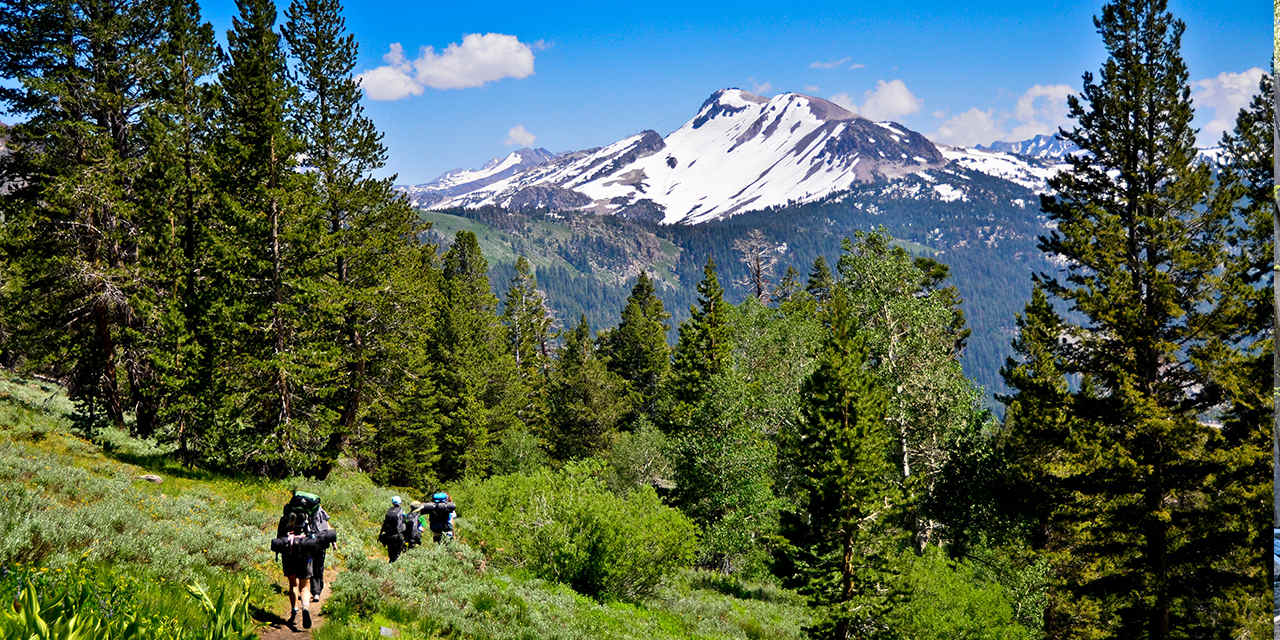
There’s a lot of argument about which stretch of the PCT has the most breathtaking scenery, but for lovers of high-alpine landscapes, it’s tough to beat the 77-mile stretch of trail from Yosemite’s Tuolumne Meadows—the largest subalpine meadow in the Sierra Nevada—northward to Sonora Pass. This is stark, fragile, granite country. The beauty of this region's glacial-cut peaks, gem-like lakes, verdant meadows, and abundant wildlife make it a hiking paradise. With a car shuttle, you can backpack the whole stretch in a week, or get a smaller taste with these out-and-back trips from Tuolumne Meadows. Wilderness permits are required; reserve yours far in advance.
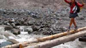
At Tuolumne Meadows, the PCT starts out deceptively easy. The trail follows the boisterous, Tuolumne River for 4.5 miles, then veers right at Glen Aulin High Sierra Camp. The path gently descends, often tracing within a few feet of the river’s edge, until it reaches Glen Aulin, where Tuolumne Falls tumbles in a series of boulder-choked cascades. Day-hikers should make their destination the bridge at the falls’ base (on a hot day, take a bracing swim in the waterfall’s pool near Glen Aulin High Sierra Camp). Be sure to save some energy for the 1,000-foot elevation gain on the return.
Backpackers can find a campsite near Glen Aulin or a short distance downriver, then get a fresh start the next morning and continue north on the PCT, heading for the three gorgeous McCabe Lakes. You’ll leave the rushing Tuolumne River behind and take a mellow tromp up Cold Canyon through high-alpine meadows to the next trail junction, 7 miles farther. Bear right here, leaving the PCT. Follow the McCabe Lakes Trail alongside McCabe Creek, shadowed by the knife-like ridge of Shepherd’s Crest. After a moderate climb over 2 miles, you’ll reach the forested edge of Lower McCabe Lake, a good spot to set up camp and possibly catch some fish. Be sure to visit Middle and Upper McCabe Lakes as well, both above treeline and set in spectacular glacial cirques below 12,242-foot North Peak.

Danita Delimont/Alamy
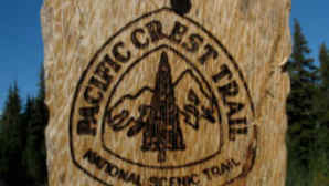
Spotlight: Pacific Crest Trail
More Ideas
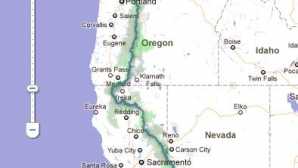
The Pacific Crest Trail extends for a whopping 2,650 miles from Mexico to Canada, forging an unbroken footpath through three states—California, Oregon, and Washington. It crosses over deserts and tunnels through forests, travels across glaciated mountain passes, and skirts the shoulders of conical volcanic peaks. To hike the entire trail takes about five months—if all goes well—walking an average of 16 to 18 miles per day. Many hikers plan on six months to account for the vagaries of mountain weather and the need for rest and resupply days.
The tri-state trail was the dream of Harvard graduate Clinton Churchill Clarke, who had been a Boy Scout as a child. In the 1930s, he and his friend Warren Lee Rogers created the Pacific Crest Trail (PCT) System Conference, which united several hiking clubs and youth groups. The men began lobbying to link together existing trails to create a border-to-border trail. Members of the Young Men’s Christian Association and the Boy Scouts organization supported their efforts by scouting the trail’s planned route. Even world-famous photographer Ansel Adams played a role on the PCT conference’s executive committee.
Progress was slow. In 1968, President Lyndon Johnson finally signed the National Trail Systems Act, which named the East Coast’s Appalachian Trail and the Pacific Crest Trail as the first two national scenic trails. Over the next 25 years, countless individuals built nearly 1,000 miles of the PCT. It was completed in 1993.
The PCT was mostly known only to serious hiking enthusiasts until 2012, when Cheryl Strayed’s memoir Wild, detailing her 1,100-mile solo journey on the trail, was published. Her book was later made into a film of the same name starring Reese Witherspoon, and the accompanying notoriety led to a spike in the number of people attempting all or part of the trail.
Typically, a few hundred people each year hike the entire PCT, but thousands more hike some portion of it. Whether you choose to day hike or take a short backpacking trip, here are six major Pacific Crest Trail access points—from San Diego County up to the Shasta Cascade region—where you can go have your own Wild California experience, listed south to north.
– Ann Marie Brown
More Ideas
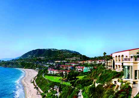
Discover Orange County
The good life might have been invented in “The O.C.”—especially when it comes to resort destinations. With spas, elegant dining, posh lodgings, and impeccable service—plus...
Spotlight: Big Sur
With cliffs plunging hundreds of feet down to rocky coves churning with foamy surf, it’s no wonder that many people consider ...